View Day in Snowdonia in a larger map
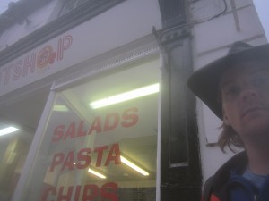
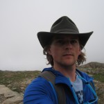
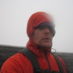
Well. I finally decided to do it. Mount Snowdon, aka Yr Wyddfa, is the highest peak in England & Wales, and it sits in the middle of a pretty big national park named Snowdonia. So that’s pretty cool. (Incidentally, Wales is about the size of New Jersey. Put that in your pocket.) One of my classmates had given me a map and a guidebook, and I’d been making plans to go for awhile. I wanted to go last weekend, but inertia kept me in Bangor. I really wish I would have, because last weekend the weather was apparently beautiful. But I’m getting ahead of myself. What follows is a long, long account of how I spent my sister-in-law’s birthday. Then there are pictures, including plenty of “selfies,” as the kids call them. And me. I call them that, too.
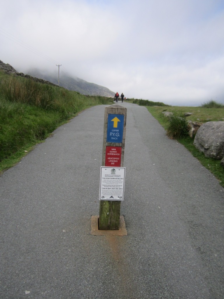
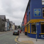
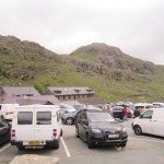
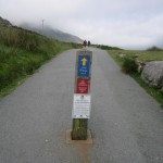
I got up pretty early, especially for a Sunday, and caught the first bus from Bangor to Llanberis. I barely missed the first Sherpa bus from Llanberis, but that gave me time to go to Pete’s to get a cup of coffee and generally get psyched. I got the 10 o’clock bus, which does a little circle of various trailheads in the area. Cool. So I get off the bus at Pen-Y-Pas, find the trailhead and set off. It’s not a great forecast, but forecasts are just that, so I looked at the hints of blue sky popping through the clouds as promising rather than forbidding foreboding. Anyhow, I’ve got gloves and layers and my new cool hat, so I’m not even worried about the weather. (I’m an idiot. Tumfat.)
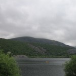
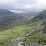
Because Pen-y-Pass is a popular parking spot, and the Pyg Track is a popular way up the mountain, there’s a pretty significant amount of traffic, and since I’m going by myself, I can move pretty quickly. (A group of people goes at the pace of the slowest person at any given time, you know? That’s slow!) Anyhow, no big deal, the weather is cloudy but nice, so I keep cruising up, taking photos, smiling, etc.
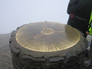
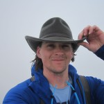
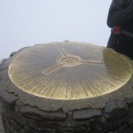
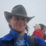
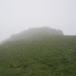
Things spread out for awhile, and there’s a lot of room between people. Eventually, the trail hits the final ascent to the top, and here it gets really crowded and slow, but that’s kind of a good thing. At this point it’s maybe drizzling a little bit, but also, we’re on the inside of a cloud, so.. it’s just that. At the end of the final main ascent there’s a big group of people catching their breath, which kinda gives the impression we’re actually at the top, but we’re not. A relatively horizontal 200 yards or so remain, at which point there’s a (man-made?) hill with a (definitely man-made) pillar with a big medallion compass thing on it. Don’t worry, I took a picture of it. It’s super windy up here, and getting a little cold, so I take a self-shot, then move on.
There’s a little cafe at the top of the mountain, so I pop in there to warm up, consider getting some coffee, use the bathroom, reject coffee suggestion, look at maps, and then move on. It’s cool that there’s a cafe there / it’s weird that people would take the train up there, to get coffee at the cafe and enjoy the complete lack of a view. No more weird than walking up to do same, I suppose.
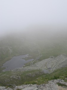
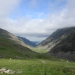
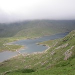
My original plan was to go back down the way I came up, but it was so crowded, I wasn’t eager to deal with it again. Instead, I followed a trail that went pretty much due south from the peak along a ridge, before descending into a big valley. This was great, except I meant to follow a trail that went kinda south-westish into that big valley. Uh-oh. I got further and further down into this valley, and I realize that the mountains are kinda moving in a different direction than my map expects they should. Luckily at this point, a couple comes up from behind me and they set me straight regarding my actual location, which at this point was just across the valley from the trail I thought I was on. Cool.
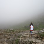
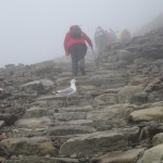
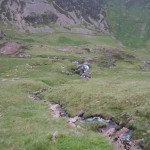
So I keep trucking down the valley, keeping my eye on the trail on the other side that I want to be on. Eventually the two trails merge at the site of a tiny little hydroelectric plant that’s being built, so I hop onto the other trail and start heading up it. It’s called the Watkin trail, which turns out to be TERRIBLE, rather like the junior high of a similar name. It’s starts off fine, but then it seems to go basically vertical, except also super zig-zaggy. I haven’t seen the sun in awhile, and I’m scrambling up this hill for like an hour before seeing anyone at all. I get half convinced I’ve missed the trail. I’m only ever half convinced though, because the weather was so bad it made sense that nobody would also be on the rail. It’s super windy, the entire mountain has water streaming down it, it’s slippery, and my hat keeps trying for its freedom. Since I wasn’t going to see anybody who’d appreciate how cool I looked, it was around this time that I take the hat off and put my hoods on.
Eventually I run into a Welsh guy who’s coming down the mountain, which is a pretty awesome relief, because.. well, I wasn’t entirely sure I hadn’t somehow lost the trail and ended up in Switzerland. He assured me I was only a few minutes from the top and, a few minutes later, he was proven true. At the top, I begin to walk downhill toward the peak of Yr Wyddfa. If that doesn’t make sense to you, it’s because you have some sort of intuition that I was mostly lacking at that point. Luckily, I only go downhill for maybe a half-hour (!) before I realize that the highest point in a country isn’t terribly likely to be below other points in that same country. I whip out my compass just to double-check my newly reacquired intuitions, only to discover that my compass had a very non-judgmental sense of Northdom. Luckily, I had a second compass my classmate had lent to me, which assured me that North was uphill.
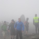
So that half-hour down turns into probably an hour back up to where I’d been earlier. (Steep! Why am I so dumb!?) Once I’m at the point where my trail had originally come up, I start back towards the real peak, when a big group of horribly under-dressed (Japanese? Korean? Not Welsh, that’s for sure, but I was too tired to listen to what they were saying) people came up and asked me which way to the top. They must have been freezing, and they were definitely soaking wet, and all twenty of them formed a kind of semi-circle around me, hopefully asking whether I knew which way was to the top. At this point, I was actually pretty confident that I *did* know the way to the top, but the quantity of them, the confusion and maybe even fear on their faces, and the fact that I’d only really found my way in the last little bit made me completely hedge every answer I gave them: “I’m pretty sure the top is probably that way, as I’ve come from that direction, which probably isn’t where we all want to go, because if it were, why would I be coming from there? Plus the uphill direction appears to also be that way, and it probably stands to reason that the uphill direction will likely take us closer to the top than alternate directions…” Or something like that.
Whatever answer i gave them, it wasn’t non-committal enough to get them to not follow me as I made my way further up the hill. When I stopped to catch my breath, the entire group stopped behind me. When I stopped to eat some trail mix, the entire group stopped and watched me. Luckily, this didn’t last terribly long- it turned out we were only ten minutes from the top at this point. The other group was disappointed that the cafe had closed- I’m sure they were looking forward to at least a few minutes of respite from the cold soup we’d been wading through.
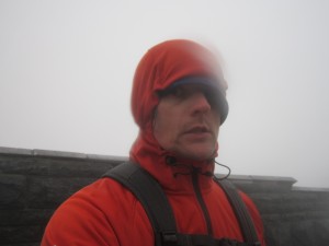
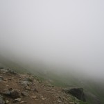
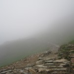
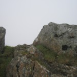
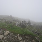
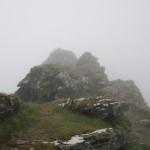
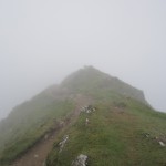
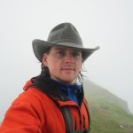
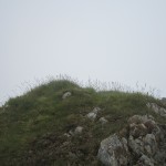
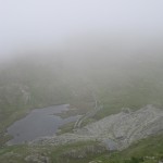
I take a quick picture of myself, my smile having turned to a grimace hours earlier. I feel like i’m not doing a good job describing how miserable I was at this point, but let me include a few details that might help. When I make a fist and squeeze, water pours from my gloves. It’s not raining. My not-quite-waterproof jacket is really emphasizing the not-quiteness, and both jackets are pretty much soaked. Every step pushes water out of my socks and between my toes, but I’ve already changed socks, and anyhow the shoes are soaked through. Visibility is about 30 feet, but that doesn’t really matter, because I’ve been focused just on the five feet in front of me because it’s so slippery you have to be really sure of every step. Yike.
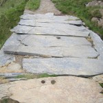
Anyhow, the rest of the way down is uneventful. I do make one more small mistake, which isn’t clear at the time, but rather than take the shorter Pyg Track back, I elect to take the Miner’s track, which isn’t much longer, and seems to inolve a preferable decline, but ultimately I think it takes much longer to cross. Really, this wasn’t as much a mistake as a bad decision, but whatevs, it’s hard to know that at this point. So I’m just truckin’ at this point, not looking around, just being sure of my steps and cruising down the mountain, fast as I safely can. Hours (Days? Weeks?) later, I arrive back at Pen-y-Pass. I had looked at my phone a few times throughout the day, but I hadn’t in a long time because it was so wet and I didn’t wanna mess up my phone. Anyhow, I check the bus schedule, and the last bus to Llanberis leaves at 7:45.
That strikes me as good news. I had left Llanberis at 10am that day. It had definitely been a long day, but there’s no way it had been a 9 hour and 45 minute long day. But it had. In fact, it was a 10 hour day on the dot. 8:00pm. I had missed the last bus back by fifteen minutes. Curseword. There’s a little hostel at the parking lot, so I go in there, get a cold drink, and nervously ask the guy running the place how long the walk was to Llanberis. One hour, he says, but probably just ten minutes hitch-hiking. The prospect of an hour was daunting- it was all downhill, but I’d been really wet and cold for a long time (It was around 10 C at the top, whatever that means. Pretty sure it’s cold though!) BUT the prospect of hitch-hiking was, frankly, a little enticing. I’d only done it a handful of times before, and never when I wanted it so badly. Anyhow, the very fist car that passed up stopped and picked me up. We chatted for a little bit, but Llanberis wasn’t very far, so before too long they dropped me off where I had gotten on a bus that morning.
More bad news. I had my bus schedules mixed up and confused and dumb. Essentially, I had this goofy idea that the last bus from the tiny little spot on the mountain to the closest town would have to be earlier than the last bus from that close town to an actual big town. It just seemed like.. I dont know, why would there be a bus to this little town if there wasn’t another, later bus from this little town? Well, it’s because people stay in this little town, and people have cars, and plus it’s Sunday, and seriously Brett, how could you have not actually looked up the bus schedule?!?!? The last bus to Bangor from Llanberis was a solid four hours earlier!
So now what? Well, I was still freezing, so I did the most sensible thing: I went into the only place that was open and I ordered a pizza. The people that worked there were super nice. They even offered me a free slice of pizza from the pizza they had just made themselves. (It had chicken and pepperoni on it, so I didn’t eat it. But still, nice.) Somewhat fortuitously, there was a sign advertising a taxi company next to the register. I didn’t have a phone that worked at the time (I do now!) so I nonchalantly brought up the sign, warming up to asking the dude working if he could call me a cab. “Say, how much you think a cab from here to Bangor would cost?”
I’ve never taken a cab here, and I have no clear idea of how far Bangor really is from Llanberis- maybe it’s like 200 pounds, maybe it’s like 2! Anyhow, the guy says the cab is really expensive, way too much. I tell him that the last bus left (didn’t mention it left four hours earlier…) so a cab is pretty much my only option, as far as I can tell. Without a pause, the guy says he’ll go ask his boss if he’ll give me a ride. A few minutes later, the guy comes back, says his boss will drive me to Bangor, and also my pizza’s ready. So he hands me the pizza, tells me to wait on the corner for a black Mercedes.
So I waited on the corner for a black Mercedes. One comes, driven by the owner of the pizza place who’s really nice, but sternly warns me to keep a firm grip on the pizza- he doesn’t want it spilling in his car. Makes sense, I’m sure if I had a pizza place, I’d at least want one place that didn’t smell like pizza. So, me gripping my pizza firmly, we drive what’s apparently only nine miles to Bangor, where he drops me off right at my door. I skip inside, peel off my icy clothes, take a hot shower, eat pizza in bed, fall asleep.

